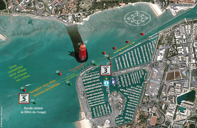
Nautical access
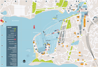
| Landing plan for La Rochelle Marina | Plan of the Minimes Area |
 |
 |
SHOM* Nautical Charts
General charts :
7404 : From “Pointe du Grouin du Cou” to “Pointe de Chassiron Pertuis Breton” and “Pertuis d’Antioche”
7405 : From “La Rochelle” to “Pointe de La Coubre – Ile d’Oléron”
Detailed charts :
7412 : “Ile de Ré” From “Fier d’Ars” to “La Flotte”
7413 : Approaching “La Rochelle”
7414 : From “Ile d’Aix” to “Pertuis de Maumusson – Coureau d’Oléron”
7415 : “Charente river Estuary” (Ile d’Aix)
* Service hydrographique et océanographique de la marine, French Navy Hydrographical and Oceanographic Service
